
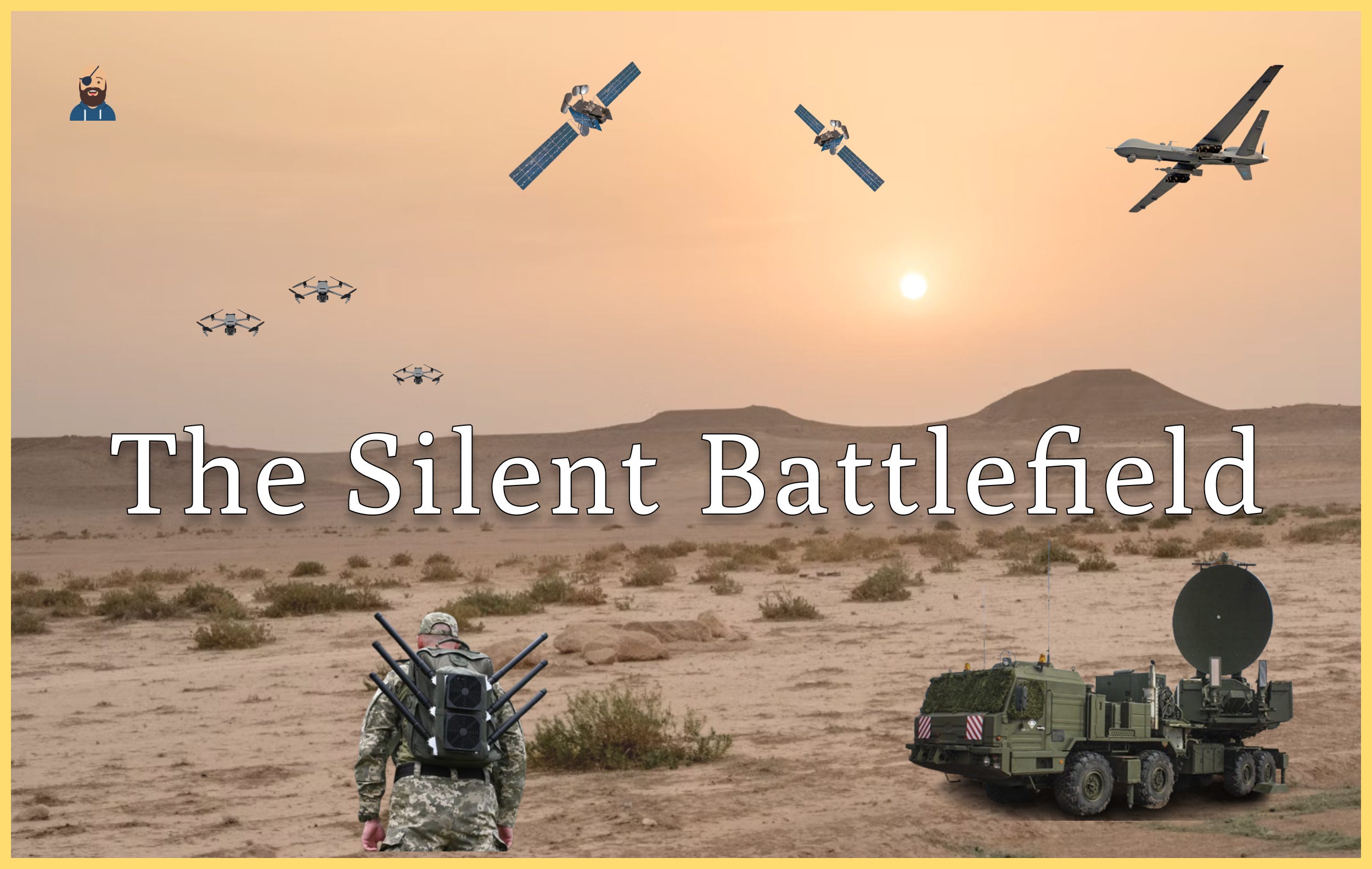
The Silent Battlefield
GPS and Electronic Warfare
This is Startup Pirate #112, a newsletter about technology, entrepreneurship, and startups every two weeks. Made in Greece. If you haven’t subscribed, join 6,655 readers by clicking below:
The Silent Battlefield
The integration of GPS into daily life is often overlooked despite its vital role in modern society. Satellites orbiting Earth quietly deliver precise positioning and timing information across the globe. The applications that rely on such signals are virtually limitless, from road navigation (Google and Apple Maps helping drivers reach their destination) to finance (institutions generating precise timestamps to accompany every transaction) and energy (synchronising the electricity grid). Society is so reliant on satellite navigation systems that a service outage is estimated to cost the US at least $1 billion a day.
What is perhaps lesser known is that satellite navigation has become a fast-evolving battlefield in modern electronic warfare. The ongoing armed conflicts in Ukraine and the Middle East have shown the world how attacking and overcoming GPS vulnerabilities are quickly changing the nature of geopolitical conflicts, and this is just the beginning. Today, we explore the rise of GPS, its role in the modern battlefield, and why Greece should invest in electronic warfare technology with Argyris Kriezis from the GPS Lab at Stanford.
Let’s get to it.
Rise for GPS
The history of GPS goes back to the world’s first satellite, Sputnik. George Weiffenbach and William Guier of the John Hopkins’ Applied Physics Laboratory found they could track the satellite’s location by analysing its radio signal. This discovery paved the way for the US’s first, but limited, satellite-based geopositioning system, dubbed “Transit” in the 1960s.
Ever-increasing Cold War tensions drove the military’s need to improve the timing and positioning services, leading to the development of a new and improved version, the Navigation System with Timing and Ranging (NAVSTAR), known today as the Global Positioning System (GPS). The first NAVSTAR satellite was launched in 1978, but the system did not surpass the minimum operational threshold of 24-satellite until 1993.
Despite GPS’s focus on being a tool for the military, Parkinson, the Chief Architect of GPS, testified before Congress in 1975 that GPS was a dual-purpose system from its inception—civil and military.
The GPS system consists of the satellite, user, and ground segment:
Satellites: The GPS satellites emit timestamped radio signals that can be picked up by user equipment. Atomic clocks abroad the satellites ensure high time accuracy is maintained.
User Equipment: The equipment uses the timed satellite signals and the known position of satellites to calculate the distance between itself and the satellite. The user's position can be derived by determining the distance between it and four or more satellites.
Ground Segment: The ground segment is a network of earth stations that track and monitor GPS satellites while keeping track of GPS time.

The wide-scale civilian use of GPS was prompted after the tragic accident of Korean Air Flight 007 in 1983. The Korean Air flight was operating a service between New York and Seoul when the plane deviated from its course, accidentally entering the Soviet Union’s airspace, where it was subsequently shot down. After the event, President Reagan announced the US would make GPS available to all commercial airliners to ensure no such accident could happen again.
A significant milestone in GPS commercialisation occurred in 2000 when President Clinton ended selective availability, a feature that deliberately degraded GPS accuracy to prevent its exploitation by adversaries. By making high-accuracy GPS signals accessible for civilian use, a commercial revolution began. Satellite navigation systems quickly integrated into daily life, from powering navigation systems to enabling GPS functionality in smartphones.
Since then, GPS has grown into one of the most widely used services in the world, with billions of people using it daily. It is the most valuable component of the space economy by many measures. You can deep dive more into the history of GPS here.

Race for national dominance
The world's major powers quickly noticed the importance of satellite navigation for civilian and military purposes and started designing their sovereign version of GPS. As of today, four global navigation satellite systems (GNSSs) are operational: the United States's Global Positioning System (GPS), Russia's Global Navigation Satellite System (GLONASS), China's BeiDou Navigation Satellite System (BDS), and the European Union's Galileo.
The Russian GLONASS navigation network was the first to challenge GPS, commencing operations in 1995. Due to Russia's geography, the network focuses on offering reliable service in higher latitudes, where GPS signal acquisition can be challenging. The economic hardships that followed the collapse of the Soviet Union resulted in the system operating with less than the required 24 satellites from 1997 until 2010, when the government reprioritised the program due to its importance in modern warfare.
The European Commission's Galileo program began early operational capability in 2016. Contrary to other navigation systems, the EU primarily designed the service for civilians rather than military purposes. Initially, the European Commission intended to collaborate with China in developing Galileo, with China pledging 200 million euros ($228 million at the time) in 2003 to join the European Union's Galileo satellite navigation program. The partnership was later dissolved following conflict between the two sides. Reports show that while the partnership lasted, China extracted key technology for their BeiDou system, "essentially piggybacking on the European satellite-navigation initiative."
The Chinese BeiDou system launched its basic global service in 2018 and has roughly 48 active satellites in orbit spread out in multiple orbits to increase diversification. You can learn more about BeiDou here.
Galileo and BeiDou have tech advancements that can provide an edge compared to the ageing US GPS, whose modernisation programs are years behind schedule. The EU claims that its High Accuracy Service (HAS) is the most accurate in the world, while China features a two-way messaging capability allowing for asset monitoring worldwide.
The Achilles heel of satellite navigation
Electronic warfare poses a significant threat to GNSS services in civilian and military contexts. Enter jamming and spoofing. Jamming disrupts GNSS signals by introducing radio-frequency (RF) noise, overwhelming receivers and preventing them from acquiring and tracking GNSS signals. Spoofing, on the other hand, involves transmitting fake GNSS-like signals to deceive receivers into reporting false positions. Spoofing is often employed alongside jamming to deprive a receiver of real signals and plant fake ones. Both can cause severe outages in satellite navigation systems, often affecting areas far beyond the immediate combat zones, as seen in this GPS Interference Map.
In military operations, jamming and spoofing can prevent GNSS-guided munitions from reaching their intended targets. In the ongoing conflict in Ukraine, jamming has proven highly effective against drones, especially low-cost models equipped with commercial electronics. Both sides have been investing heavily in jamming technologies. Meanwhile, the Israel Defense Forces use spoofing to defend against drones and GNSS-guided missiles. By spoofing, they can force drones to crash or divert missiles away from critical infrastructure or populated areas.

Electronic warfare is not confined to military applications—it also affects civilian infrastructure. Wide-area jamming and spoofing have disrupted operations at airports. In Cyprus, GNSS-assisted landing procedures have been suspended, while in Northern Europe, GNSS outages combined with poor weather have forced planes to divert from their intended airports. In Israel, these disruptions have impacted consumer services like Uber, which relies on GNSS to match drivers with users.
With electronic warfare posing a serious threat to civilian and military services, researchers and industry experts are working on solutions. Electronic warfare resistance technologies can be categorised into three main areas: RFI awareness, RFI mitigation, and alternative systems.
RFI awareness involves monitoring GNSS signal integrity to detect and analyse interference. Networks of receivers can report RFI events in real time, enabling authorities or military forces to adjust their operations accordingly.
RFI mitigation focuses on countering interference. One approach uses electronically steerable antennas that block interference from specific directions through beamforming techniques. Another approach involves sensor fusion, where data from cameras and computer vision algorithms supplement or replace GNSS data to determine a user’s position. Additionally, signals of opportunity, such as satellite communication signals from known sources, can provide alternative positioning information.
Alternative systems are being developed by private companies and governments to provide more resilient GNSS services. These systems feature advanced and often stronger signals that are more difficult to disable or replicate, offering greater reliability.
Similar to the dynamics in cybersecurity, electronic warfare threats continue to evolve alongside advancements in technology and improvements in mitigation techniques. This creates a continuous feedback loop, where progress drives the development of countermeasures and vice versa.
An opportunity for Greece
The ongoing armed conflicts in Ukraine and Israel have underscored the critical role of electronic warfare on the modern battlefield. Technologies such as GNSS jamming and spoofing are being employed to counter drone attacks and disrupt critical infrastructure. As this technology rapidly advances, it presents opportunities for new players. While Greece currently lags behind Turkey in developing drone and GNSS technologies, it has the potential and resources to emerge as a significant player in this field.
Turkey has established itself as a leader in developing combat aerial drones, with its Bayraktar TB2 exported to more than 30 countries. However, Turkey's progress in advanced GNSS antenna systems is less widely recognised. Companies like TUALCOM are at the forefront of developing systems capable of mitigating jamming and spoofing by electronically blocking hostile emitters. These combined capabilities pose a considerable threat to Greece, highlighting the need for effective countermeasures. While it may be too late for Greece to compete directly in drone development, it can capitalise on this threat by focusing on technologies that neutralise drones, positioning itself as a global leader in anti-drone electronic warfare solutions.

In that context, several factors uniquely position Greek companies to excel in electronic warfare technology for defending against drones:
Clear Motivation: History shows that innovation thrives under the need for national defence. For example, Israel leads in cybersecurity, and Ukraine is quickly advancing in low-cost autonomous combat platforms since the Russian invasion. Similarly, Greece has a clear motivation to strengthen its defensive capabilities in the face of Turkey's technological advancements.
Software-Oriented Technology: Unlike many other defence technologies, electronic warfare relies heavily on software and RF innovations, with relatively low hardware costs. Greece has world-class talent in both fields, which can be leveraged to develop cutting-edge electronic warfare solutions. Furthermore, artificial intelligence—a field in which Greece holds a strong academic position—will play a pivotal role in the evolution of electronic warfare systems.
Proximity RFI Events: Greece and Cyprus are geographically close to active conflict zones and regions with frequent radio frequency interference (RFI) events. This proximity offers a unique opportunity to collect real-world data on jamming and spoofing technologies, aiding in developing advanced solutions. Such solutions could not only address Greece's defence needs but also be exported to allied nations worldwide.
While there are countless defence challenges for startups to tackle, GNSS-oriented electronic warfare represents a fundamental and achievable area of focus for Greece's domestic capabilities.
Jobs
Check out job openings here from startups hiring in Greece.
News
Only a few announcements this week, given the Christmas break:
IT business companies Entersoft and Softone merged.
Rare earths processing Phoenix Tailings raised $43m Series B.
Resources
An intro to the power grid, its challenges, and why it’s a matter of national security with the founders of SMPnet, Anastasios Rousis and Dimitrios Tzelepis.
What are the characteristics of high-performing teams with Elena Markou, People Growth Lead, and Yannis Alivizatos, COO, at Skroutz.
How to scale up tech teams with Michael Petychakis, CTO at Orfium.
Greece’s 2024 cyber threat landscape by Efstratios Lontzetidis, Cyber Threat Intelligence Researcher at the Hellenic National Defence General Staff.
Customer Experience: the reliability metric that matters from Spiros Economakis, Director of Product Operations at Mattermost.
AI agents and the data revolution in 2025 from Phanos Hadjikyriakou, co-founder & CEO of 2050 Materials.
Moving from a tourism model to an innovation economy from the Greek Analyst.
Six lessons from a B2B marketing operator with John Short, CEO at Compound Growth Marketing.
Events
We’re hosting Greeks in Tech in London on Jan 24. Join us!
Women Shaping Startups by Founder Institute on Jan 14
The Real Cost of Entrepreneurship by The Future Farm on Jan 22
Leadership Conversations in Tech - Intro on Jan 23
Doers Summit on Feb 12-13
That’s all for this week. Tap the heart ❤️ below if you liked this piece—it helps me understand which themes you like best and what I should do more.
Thanks for reading,
Alex
eLORAN is a modern version of a US-developed radio navigation system from the 1940s, using terrestrial beacons for stronger, more jamming-resistant signals than GPS. However, it mainly covers land and coastal areas, needs significant infrastructure, and only provides horizontal positioning.
Spot on!